While it began slowly, activity has certainly picked up as we reach the mid-point of this tropical season. Within a week’s time, 2 major hurricanes have formed in the Atlantic. Hurricane Ian is now a major hurricane, and is setting sights on Florida.
When Hurricane Ian makes landfall in Florida:

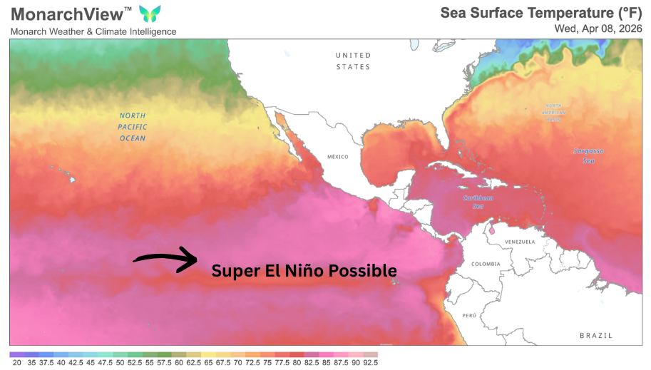
On its journey, Ian will continue to encounter water 86-88 degrees Fahrenheit, adding fuel to the storm.
Over the last couple of years, the phrase “rapid intensification” has been used more frequently. It is defined as an increase in wind speed of over 30 kts within a 24 hour period. Rapid intensification can occur within a tropical cyclone due to warm waters and lack of upper level winds interfering with the storm’s overall organization. According to NOAA flight reconnaissance, in the case of Hurricane Ian, wind speeds increased from 65 knots to 100 knots from Monday morning to Tuesday morning. It is now a Category 3 hurricane, with more strengthening in the forecast.
While this storm is still in its developing phase, it’s forecast to bring life -threatening storm surge to the western gulf coast of Florida. In addition, significant rainfall in excess of 10 inches is forecast along a swath that extends through central Florida, stretching from Orlando to Jacksonville. North of Tampa Bay, 15+ inches of rain could occur.
Monarch’s Global Flood Forecast: Our synoptic flood risk model indicates an Extreme (5 out of 5) flood risk in Tampa, Sarasota, Saint Petersburg and Orlando, with a Significant (4 out of 5) flood risk that extends northeast. What does this mean for you? If you live in these areas, you should prepare for the high likelihood of flooding. Our flood model is risk based, and not meant to indicate the amount of rainfall but rather a specific area's susceptibility to flooding.

In addition to water impacts, damaging winds will reach hurricane force along the Florida coast by Wednesday morning. While it’s expected to weaken as it makes landfall, due to the hurricane’s rotational characteristics Ian will still carry a widespread embedded tornado risk throughout most of the Florida Peninsula.

Looking Ahead:
Hurricane Ian is expected to move northward and, coincide with gulf stream moisture, bringing flooding with more than 6 inches of rain targeting the southeastern coast, including Savannah and Charleston.
Facts about Hurricane Ian with regard to the 2022 Atlantic Hurricane Season:
Sources: National Centers for Environmental Prediction, National Hurricane Center, Esri ArcGIS Online
About Monarch Weather & Climate Intelligence
We are a woman-owned business with a team of Certified Consulting Meteorologists (CCM) and GIS Analysts, providing meteorological and climate services via custom forecasting, modeling and advisory within the insurance, tech, energy, real estate, transportation and agricultural sectors.
Visit our website www.monarchweather.com or message us directly Team@MonarchWeather.com.
Monarch challenges leaders to discover a new way to forecast their business. Keep Monarch on your Radar.